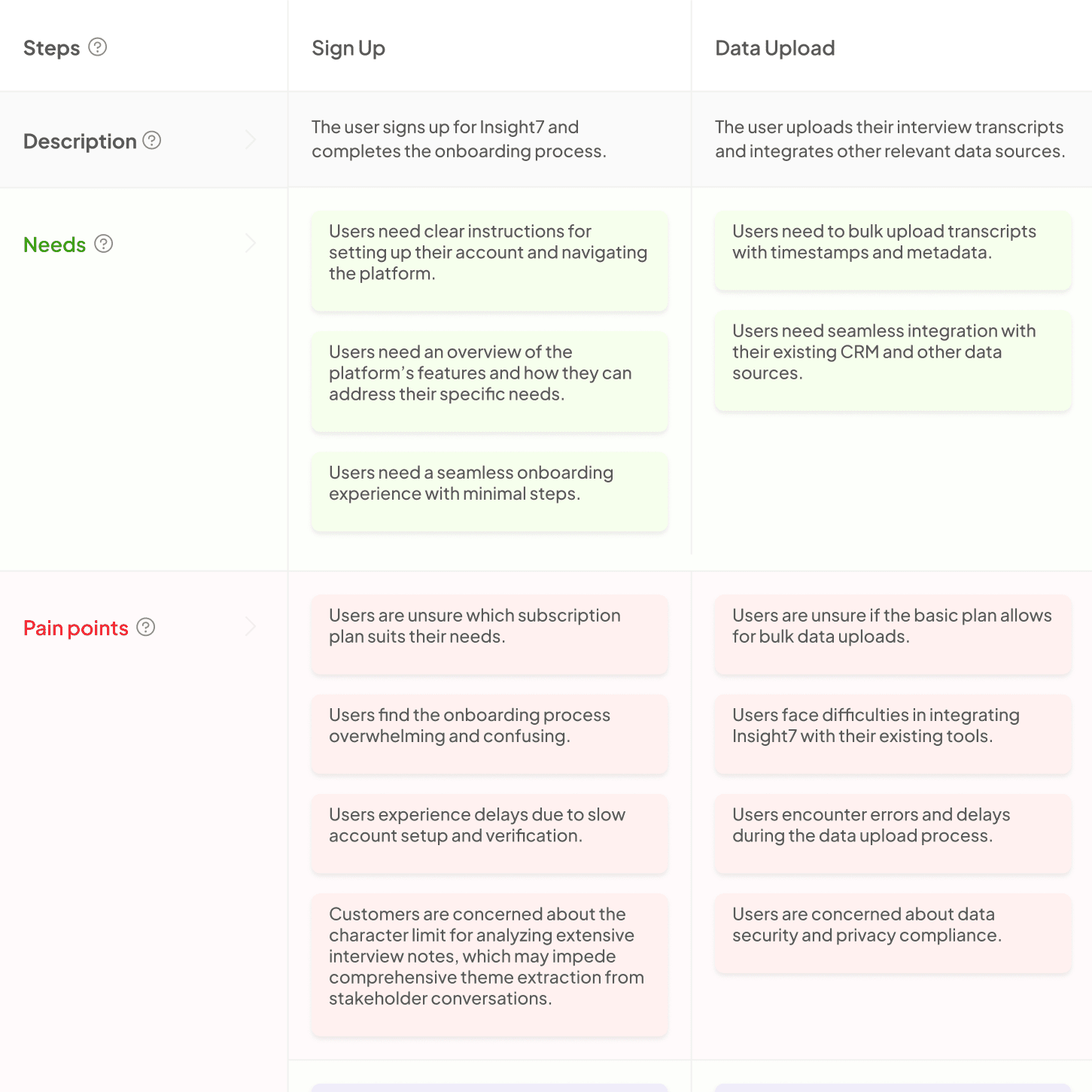
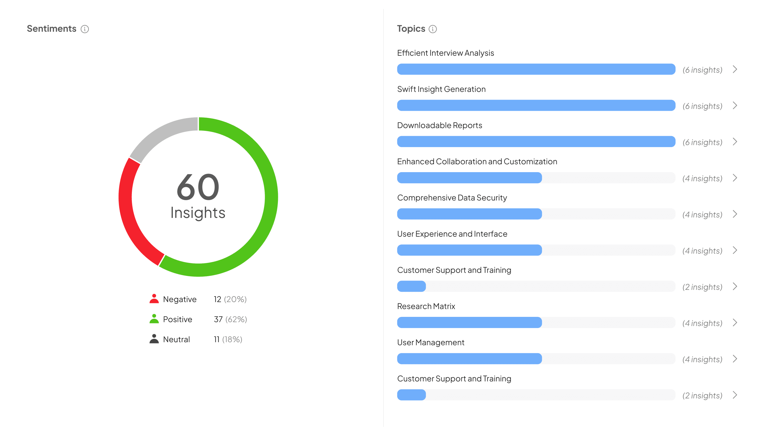
Geospatial Mapping Tools play a vital role in spatial data visualization, transforming complex datasets into intuitive visual representations. By using these tools, organizations can illustrate geographic patterns and trends, allowing stakeholders to comprehend intricate information quickly. For example, visualizing customer journeys on a map can highlight pain points and opportunities, facilitating better decision-making.
These tools provide various functionalities, including heat maps, 3D terrain visualization, and interactive dashboards. Such features enhance user engagement and foster deeper insights into data. As spatial data becomes increasingly vital across industries, mastering geospatial mapping will empower teams to make data-driven choices that align with real-world dynamics.
Importance of Geospatial Mapping Tools in Modern Visualization
Geospatial Mapping Tools play a pivotal role in modern visualization, enabling users to represent complex data on a spatial plane. These tools transform raw data into interactive maps that highlight patterns and trends that would otherwise remain obscure. By visualizing spatial relationships, businesses can make informed decisions based on geographical insights. For instance, visualizing customer locations can help identify target markets and optimize resource allocation.
The impact of Geospatial Mapping Tools extends across various industries, including urban planning, environmental monitoring, and logistics. They allow for better understanding and analysis of geographic data, facilitating collaboration among stakeholders. In essence, these tools not only improve comprehension but also enhance communication, enabling users to present their findings visually. This integration of spatial awareness into data analysis is crucial, as it provides a more comprehensive view that aligns with today's data-driven decision-making needs.
The Role of Geospatial Mapping Tools in Decision Making
Geospatial mapping tools play a crucial role in decision-making by providing visual context to complex data sets. By transforming raw information into intuitive maps, these tools enable organizations to identify trends and patterns that might otherwise go unnoticed. This visual representation helps stakeholders understand the geographical implications of their decisions. For example, when analyzing customer demographics, maps can reveal relationships between location and purchasing behavior, guiding targeted marketing efforts.
Moreover, geospatial mapping tools facilitate collaboration among team members by presenting data in an easily digestible format. Everyone from marketing teams to product development can benefit from this clarity. Whether determining the best areas for expansion or evaluating competition density, these tools provide valuable insights that drive strategic choices. Organizations equipped with effective geospatial tools can make informed, data-driven decisions that enhance their overall performance and support long-term growth.
Enhancing Understanding through the Power of Visualization Tools
Visual representation of spatial data significantly enhances our understanding of complex datasets. When we use geospatial mapping tools, the data transforms from mere numbers into visual stories. This visual storytelling aids in conveying insights that might otherwise remain hidden in spreadsheets or text.
One effective way to enhance understanding through visualization is by illustrating patterns and trends directly on maps. For instance, by applying heat maps, we can highlight areas of high and low activity, making it easier to identify opportunities or challenges. Furthermore, interactive tools allow users to explore data dynamically, uncovering specific details tailored to individual needs. These approaches not only simplify the analysis process but also engage users more actively in interpreting the information.
In summary, the integration of geospatial mapping tools into our data practices leads to greater insight and comprehension, revealing significant trends that drive informed decision-making.
Examples of Geospatial Mapping Tools
Geospatial Mapping Tools enable users to visualize spatial data effectively. These tools cater to various needs and sectors, facilitating better decision-making through interactive maps. Some prominent examples include ArcGIS, QGIS, and Google Maps. Each of these tools offers unique features that cater to different user requirements.
ArcGIS is a widely used platform that supports advanced analytics, providing accurate geographical insights. QGIS is an open-source alternative that allows users to customize and extend functionality based on specific projects. On the other hand, Google Maps excels in ease of use and accessibility, making it a popular choice for businesses and individuals alike. Together, these examples demonstrate the versatility and importance of Geospatial Mapping Tools in enhancing spatial data visualization. Their ability to present complex information in a digestible format empowers users to grasp trends and patterns effortlessly.
Popular Tools for Spatial Data Visualization
Geospatial mapping tools have become essential for visualizing spatial data effectively. These tools allow users to create interactive maps, analyze patterns, and present geographic information in a meaningful way. Popular options include software like ArcGIS, which offers robust capabilities for mapping and spatial analysis, and QGIS, an open-source alternative that provides a wide range of functionalities for users of all expertise levels.
Another notable tool is Tableau, which facilitates data visualization through its user-friendly interface. It enables users to blend various data types, creating comprehensive visualizations that drive insights. Additionally, Google Maps API offers excellent integration for web and mobile applications, allowing developers to embed custom maps. Together, these tools empower organizations to visualize spatial data, making insights more accessible and actionable, ultimately enhancing decision-making processes.
Case Studies: Successful Implementations of Geospatial Mapping Tools
Successful implementations of geospatial mapping tools often showcase the power of spatial data visualization in real-world applications. One notable example highlights how a team used these tools to analyze the performance of various regional sales teams. By visualizing sales data in relation to geographic locations, they quickly identified underperforming areas, enabling timely interventions. This data-driven approach not only enhanced sales strategies but also improved overall team efficiency.
Another case demonstrates the impact of geospatial mapping tools in urban planning. A city used these tools to visualize demographic data and infrastructure in order to make informed decisions regarding public transportation routes. By integrating spatial data with community insights, city planners effectively optimized transit options, leading to improved accessibility and satisfaction among residents. These successful implementations exemplify how geospatial mapping tools can transform data into actionable insights, enhancing organizational strategies across various sectors.
Conclusion: The Future of Geospatial Mapping Tools in Spatial Data Visualization
As we move forward, the evolution of geospatial mapping tools will play a crucial role in shaping spatial data visualization. These tools are becoming increasingly sophisticated, integrating advanced technologies such as artificial intelligence and machine learning. With this, users can expect more accurate analyses and visually engaging maps that convey complex data stories effectively.
Moreover, the accessibility of geospatial mapping tools is set to improve, making them available to a broader audience. This democratization of technology will empower individuals and organizations alike to harness spatial data in innovative ways. Ultimately, the future lies in the collaborative use of geospatial mapping tools, fostering insights that can address pressing global challenges and enhancing decision-making across various sectors.


